 vesseltracker.com
 BLUE ONE
Current Status
Where is the vessel?
BLUE ONE is currently in Near Tarahan, based on AIS data received about 2h ago.
Latest AIS update:
Current position: 5.49739° S, 105.29210° E (Near Tarahan)
Average speed (last 7 days): Loading…
Average speed (last 30 days): Loading…
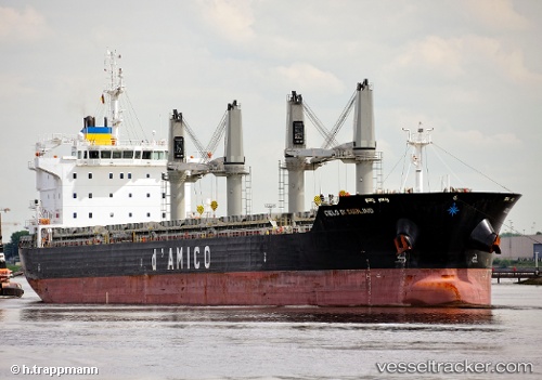
Vessel profile: BLUE ONE is a Bulk Carrier with dimensions 182m x 28m.
This page combines live AIS, route history, probable destination signals, nearby traffic, and port activity for practical vessel monitoring.
The current position of vessel BLUE ONE is -5.49739 lat / 105.29210 lng. Updated: 2026-03-27 11:20:34 UTCNearest reference points:
- Near Tarahan
- 28 nm SW of Tarahan
- 29 nm SW of Tarahan
Currently sailing under the flag of Liberia ![]()
BLUE ONE built in 2011 year
Deadweight:
37064 tDetails:
Live Vessel BLUE ONE Analytics (details, animations, etc.)
Recent AIS points (UTC):
2026-03-27 05:05:37 UTC · -5.50074, 105.29219 · SOG 0 kn · COG 3°2026-03-27 08:11:36 UTC · -5.49750, 105.29262 · SOG 0.1 kn · COG 196°
2026-03-27 10:14:35 UTC · -5.49754, 105.29236 · SOG 0 kn · COG 181°
2026-03-27 11:20:34 UTC · -5.49739, 105.29210 · SOG 0 kn · COG 175°