 vesseltracker.com
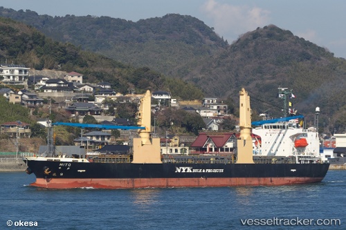
 Mito
Mito
Current Status
Where is the vessel?
Mito is currently in 37 nm NE of Tami Island, based on AIS data received less than 1h ago.
Latest AIS update:
Current position: 6.51581° S, 148.46292° E (37 nm NE of Tami Island)
Average speed (last 7 days): Loading…
Average speed (last 30 days): Loading…
Vessel profile: Mito is a General Cargo Ship with dimensions 128m x 20m.
This page combines live AIS, route history, probable destination signals, nearby traffic, and port activity for practical vessel monitoring.
The current position of vessel Mito is -6.51581 lat / 148.46292 lng. Updated: 2026-05-15 04:05:16 UTCNearest reference points:
- 42 nm E of Tami Island
- Near Lae
Currently sailing under the flag of Panama ![]()
Mito built in 2010 year
Deadweight:
14049 tDetails:
Live Vessel Mito Analytics (details, animations, etc.)
Recent AIS points (UTC):
2026-05-14 22:18:26 UTC · -7.18105, 149.45724 · SOG 12.4 kn · COG 306°2026-05-14 23:39:08 UTC · -7.03731, 149.21808 · SOG 12.4 kn · COG 307°
2026-05-15 03:24:57 UTC · -6.59296, 148.58063 · SOG 12.4 kn · COG 303°
2026-05-15 04:05:16 UTC · -6.51581, 148.46292 · SOG 12.7 kn · COG 304°