 vesseltracker.com
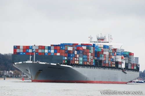
 ONE HONOLULU
Current Status
Where is the vessel?
ONE HONOLULU is currently in 32 nm NW of Xijiang, based on AIS data received less than 1h ago.
Latest AIS update:
Current position: 21.66331° N, 114.46188° E (32 nm NW of Xijiang)
Average speed (last 7 days): Loading…
Average speed (last 30 days): Loading…
Vessel profile: ONE HONOLULU is a Container Ship with dimensions m x m.
This page combines live AIS, route history, probable destination signals, nearby traffic, and port activity for practical vessel monitoring.
The current position of vessel ONE HONOLULU is 21.66331 lat / 114.46188 lng. Updated: 2026-05-15 15:56:34 UTCNearest reference points:
- 25 nm SE of Wan Tsai
- 33 nm SE of Wanshan Pt
- 42 nm SE of Wanshan Pt
Currently sailing under the flag of Japan ![]()
Details:
Live Vessel ONE HONOLULU Analytics (details, animations, etc.)
Recent AIS points (UTC):
2026-05-15 11:38:04 UTC · 20.92940, 113.50750 · SOG 16.5 kn · COG 57°2026-05-15 13:22:15 UTC · 21.20546, 113.92422 · SOG 16.4 kn · COG 59°
2026-05-15 13:58:27 UTC · 21.29654, 114.07357 · SOG 16.6 kn · COG 61°
2026-05-15 15:56:34 UTC · 21.66331, 114.46188 · SOG 16.4 kn · COG 14°