 vesseltracker.com
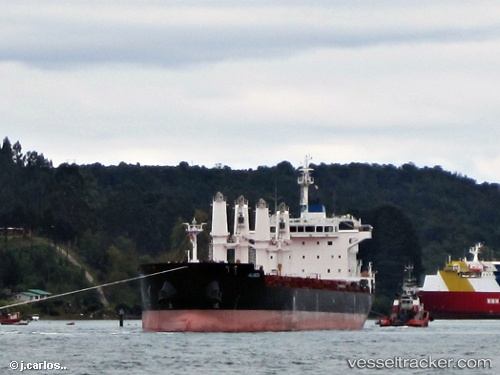
 Alinda
Current Status
Where is the vessel?
Alinda is currently in 28 nm S of Cornwall, based on AIS data received about 2h ago.
Latest AIS update:
Current position: 49.59980° N, 3.95545° W (28 nm S of Cornwall)
Average speed (last 7 days): Loading…
Average speed (last 30 days): Loading…
Vessel profile: Alinda is a Bulk Carrier with dimensions 180m x 30m.
This page combines live AIS, route history, probable destination signals, nearby traffic, and port activity for practical vessel monitoring.
The current position of vessel Alinda is 49.5998 lat / -3.95545 lng. Updated: 2026-05-14 10:58:10 UTCNearest reference points:
- 27 nm N of Verzy
- 12 nm S of Cornwall
- Near Verzy
Currently sailing under the flag of Malta ![]()
Alinda built in 2012 year
Deadweight:
34035 tDetails:
Live Vessel Alinda Analytics (details, animations, etc.)
Recent AIS points (UTC):
2026-05-14 07:22:02 UTC · 49.95280, -2.96629 · SOG 10.8 kn · COG 251°2026-05-14 09:43:09 UTC · 49.72710, -3.60090 · SOG 12.8 kn · COG 242°
2026-05-14 10:34:50 UTC · 49.63830, -3.84711 · SOG 12.5 kn · COG 241°
2026-05-14 10:58:10 UTC · 49.59980, -3.95545 · SOG 12.3 kn · COG 243°