 vesseltracker.com
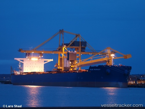
 Phar Lap
Current Status
Where is the vessel?
Phar Lap is currently in 33 nm E of Geomundo, based on AIS data received less than 1h ago.
Latest AIS update:
Current position: 34.01779° N, 127.95617° E (33 nm E of Geomundo)
Average speed (last 7 days): Loading…
Average speed (last 30 days): Loading…
Vessel profile: Phar Lap is a Bulk Carrier with dimensions 292m x 45m.
This page combines live AIS, route history, probable destination signals, nearby traffic, and port activity for practical vessel monitoring.
The current position of vessel Phar Lap is 34.01779 lat / 127.95617 lng. Updated: 2026-05-15 03:26:11 UTCNearest reference points:
- 35 nm E of Geomundo
- 25 nm S of Kukdo
- 12 nm E of Geomundo
Currently sailing under the flag of Panama ![]()
Phar Lap built in 2011 year
Deadweight:
179276 tDetails:
Live Vessel Phar Lap Analytics (details, animations, etc.)
Recent AIS points (UTC):
2026-05-14 20:32:10 UTC · 34.01801, 127.94980 · SOG 0 kn · COG 111°2026-05-14 20:32:10 UTC · 34.01801, 127.94980 · SOG 0 kn · COG 111°
2026-05-15 00:17:10 UTC · 34.01916, 127.95202 · SOG 0 kn · COG 142°
2026-05-15 03:26:11 UTC · 34.01779, 127.95617 · SOG 0 kn · COG 237°