 vesseltracker.com
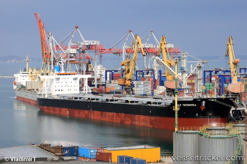
 GLORY ALBATROSS
Current Status
Where is the vessel?
GLORY ALBATROSS is currently in Near Kinuura, based on AIS data received about 1h ago.
Latest AIS update:
Current position: 34.84643° N, 136.95264° E (Near Kinuura)
Average speed (last 7 days): Loading…
Average speed (last 30 days): Loading…
Vessel profile: GLORY ALBATROSS is a Bulk Carrier with dimensions m x m.
This page combines live AIS, route history, probable destination signals, nearby traffic, and port activity for practical vessel monitoring.
The current position of vessel GLORY ALBATROSS is 34.84643 lat / 136.95264 lng. Updated: 2026-05-15 03:36:36 UTCNearest reference points:
- Near Kinuura
- Near Mihama
- Near Nagoya
Currently sailing under the flag of Panama ![]()
Details:
Live Vessel GLORY ALBATROSS Analytics (details, animations, etc.)
Recent AIS points (UTC):
2026-05-14 21:24:36 UTC · 34.84631, 136.95245 · SOG 0.1 kn · COG 352°2026-05-14 22:18:36 UTC · 34.84642, 136.95261 · SOG 0.1 kn · COG 352°
2026-05-15 00:15:36 UTC · 34.84643, 136.95262 · SOG 0 kn · COG 352°
2026-05-15 03:36:36 UTC · 34.84643, 136.95264 · SOG 0.1 kn · COG 352°