 vesseltracker.com
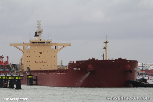
 EREIKOUSSA
Current Status
Where is the vessel?
EREIKOUSSA is currently in 98 nm NE of Las Brujas, based on AIS data received less than 1h ago.
Latest AIS update:
Current position: 24.92703° N, 17.23899° W (98 nm NE of Las Brujas)
Average speed (last 7 days): Loading…
Average speed (last 30 days): Loading…
Vessel profile: EREIKOUSSA is a Cargo with dimensions m x m.
This page combines live AIS, route history, probable destination signals, nearby traffic, and port activity for practical vessel monitoring.
The current position of vessel EREIKOUSSA is 24.92703 lat / -17.23899 lng. Updated: 2026-04-26 16:16:46 UTCNearest reference points:
- 110 nm NE of Las Brujas
- 68 nm NW of Ad Dakhla
- Near DAKHLA
Currently sailing under the flag of Panama ![]()
Details:
Live Vessel EREIKOUSSA Analytics (details, animations, etc.)
Recent AIS points (UTC):
2026-04-26 13:01:44 UTC · 25.44461, -17.20928 · SOG 9.6 kn · COG 179°2026-04-26 14:19:35 UTC · 25.23327, -17.21956 · SOG 9.9 kn · COG 180°
2026-04-26 16:12:06 UTC · 24.93909, -17.23784 · SOG 9.4 kn · COG 183°
2026-04-26 16:16:46 UTC · 24.92703, -17.23899 · SOG 9.4 kn · COG 183°