 vesseltracker.com
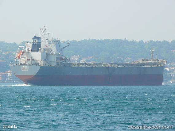
Stahla
Current StatusWhere is the vessel?
Stahla is currently in 159 nm N of Port Mathurin, based on AIS data received less than 1h ago.
Latest AIS update:
Current position: 17.05016° S, 63.72704° E (159 nm N of Port Mathurin)
Average speed (last 7 days): Loading…
Average speed (last 30 days): Loading…
Vessel profile: Stahla is a Bulk Carrier with dimensions 32m x 225m.
This page combines live AIS, route history, probable destination signals, nearby traffic, and port activity for practical vessel monitoring.
The current position of vessel Stahla is -17.05016 lat / 63.72704 lng. Updated: 2026-04-29 07:34:09 UTCNearest reference points:
- 154 nm NE of Port Mathurin
- 241 nm N of Port Mathurin
- 106 nm NW of Port Mathurin
Details:
Live Vessel Stahla Analytics (details, animations, etc.)
Recent AIS points (UTC):
2026-04-29 04:08:07 UTC · -17.38159, 63.18849 · SOG 10.5 kn · COG 60°2026-04-29 05:22:15 UTC · -17.25275, 63.39395 · SOG 10.7 kn · COG 59°
2026-04-29 07:23:48 UTC · -17.06590, 63.70186 · SOG 10.2 kn · COG 60°
2026-04-29 07:34:09 UTC · -17.05016, 63.72704 · SOG 10 kn · COG 61°