 vesseltracker.com
 Indigo Sun
Current Status
Where is the vessel?
Indigo Sun is currently in 12 nm NW of Offshore Ambrose, based on AIS data received less than 1h ago.
Latest AIS update:
Current position: 40.38406° N, 72.10104° W (12 nm NW of Offshore Ambrose)
Average speed (last 7 days): Loading…
Average speed (last 30 days): Loading…
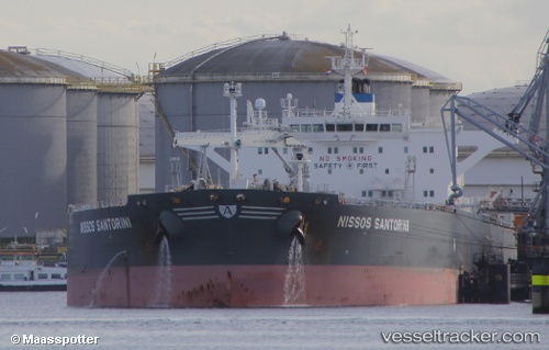
Vessel profile: Indigo Sun is a Crude Oil Tanker with dimensions 249m x 44m.
This page combines live AIS, route history, probable destination signals, nearby traffic, and port activity for practical vessel monitoring.
The current position of vessel Indigo Sun is 40.38406 lat / -72.10104 lng. Updated: 2026-05-15 23:49:41 UTCNearest reference points:
- Near Springville, Suffolk
- Near PLUM ISLAND
- 37 nm NE of Offshore Ambrose
Currently sailing under the flag of Liberia ![]()
Indigo Sun built in 2012 year
Deadweight:
115724 tDetails:
Live Vessel Indigo Sun Analytics (details, animations, etc.)
Recent AIS points (UTC):
2026-05-15 19:57:15 UTC · 40.36758, -73.02010 · SOG 10.4 kn · COG 92°2026-05-15 22:01:24 UTC · 40.37984, -72.53393 · SOG 10.5 kn · COG 92°
2026-05-15 22:28:45 UTC · 40.37958, -72.42459 · SOG 10.7 kn · COG 90°
2026-05-15 23:49:41 UTC · 40.38406, -72.10104 · SOG 10.6 kn · COG 89°