 vesseltracker.com
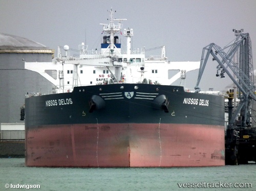
 OMERA GALAXY
Current Status
Where is the vessel?
OMERA GALAXY is currently in 21 nm W of Tutong, based on AIS data received less than 1h ago.
Latest AIS update:
Current position: 4.76901° N, 114.29920° E (21 nm W of Tutong)
Average speed (last 7 days): Loading…
Average speed (last 30 days): Loading…
Vessel profile: OMERA GALAXY is a Crude Oil Tanker with dimensions m x m.
This page combines live AIS, route history, probable destination signals, nearby traffic, and port activity for practical vessel monitoring.
The current position of vessel OMERA GALAXY is 4.76901 lat / 114.29920 lng. Updated: 2026-05-14 22:08:54 UTCNearest reference points:
- 11 nm N of MIRI
- Near MIRI
- Near Kikeh
Currently sailing under the flag of Bangladesh ![]()
Details:
Live Vessel OMERA GALAXY Analytics (details, animations, etc.)
Recent AIS points (UTC):
2026-05-14 18:14:53 UTC · 4.76837, 114.29855 · SOG 0 kn · COG 330°2026-05-14 19:14:52 UTC · 4.76844, 114.29887 · SOG 0 kn · COG 320°
2026-05-14 20:08:53 UTC · 4.76859, 114.29891 · SOG 0 kn · COG 316°
2026-05-14 22:08:54 UTC · 4.76901, 114.29920 · SOG 0 kn · COG 289°