 vesseltracker.com
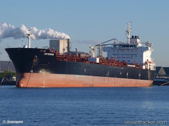
 HTM SAMURAI
Current Status
Where is the vessel?
HTM SAMURAI is currently in 24 nm W of Tusdeer Free Zone, based on AIS data received about 2h ago.
Latest AIS update:
Current position: 21.54397° N, 38.71807° E (24 nm W of Tusdeer Free Zone)
Average speed (last 7 days): Loading…
Average speed (last 30 days): Loading…
Vessel profile: HTM SAMURAI is a Oil/Chemical Tanker with dimensions m x m.
This page combines live AIS, route history, probable destination signals, nearby traffic, and port activity for practical vessel monitoring.
The current position of vessel HTM SAMURAI is 21.54397 lat / 38.71807 lng. Updated: 2026-05-15 16:12:05 UTCNearest reference points:
- Near Tusdeer Free Zone
- 23 nm NW of Tusdeer Free Zone
- 10 nm SW of Jeddah
Currently sailing under the flag of Malta ![]()
Details:
Live Vessel HTM SAMURAI Analytics (details, animations, etc.)
Recent AIS points (UTC):
2026-05-15 13:59:58 UTC · 21.52585, 38.75033 · SOG 9.7 kn · COG 288°2026-05-15 16:11:35 UTC · 21.54463, 38.71611 · SOG 12.3 kn · COG 113°
2026-05-15 16:12:05 UTC · 21.54397, 38.71807 · SOG 12.3 kn · COG 113°
2026-05-15 16:12:05 UTC · 21.54397, 38.71807 · SOG 12.3 kn · COG 113°