 vesseltracker.com
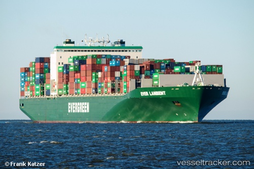
Ever Lambent
Current StatusWhere is the vessel?
Ever Lambent is currently in 142 nm N of Truk, based on AIS data received about 1h ago.
Latest AIS update:
Current position: 9.61301° N, 152.65669° E (142 nm N of Truk)
Average speed (last 7 days): Loading…
Average speed (last 30 days): Loading…
Vessel profile: Ever Lambent is a Container Ship with dimensions 46m x 335m.
This page combines live AIS, route history, probable destination signals, nearby traffic, and port activity for practical vessel monitoring.
The current position of vessel Ever Lambent is 9.61301 lat / 152.65669 lng. Updated: 2026-05-01 19:41:05 UTCDetails:
Live Vessel Ever Lambent Analytics (details, animations, etc.)
Recent AIS points (UTC):
2026-05-01 16:05:28 UTC · 9.31174, 153.51492 · SOG 15.2 kn · COG 290°2026-05-01 17:53:56 UTC · 9.46149, 153.08064 · SOG 15 kn · COG 290°
2026-05-01 19:26:45 UTC · 9.59221, 152.71449 · SOG 15.3 kn · COG 291°
2026-05-01 19:41:05 UTC · 9.61301, 152.65669 · SOG 15.2 kn · COG 289°