 vesseltracker.com
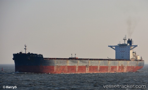
 LILA NANGLI
Current Status
Where is the vessel?
LILA NANGLI is currently in 110 nm W of Kommetjie, based on AIS data received about 1h ago.
Latest AIS update:
Current position: 34.43340° S, 16.11976° E (110 nm W of Kommetjie)
Average speed (last 7 days): Loading…
Average speed (last 30 days): Loading…
Vessel profile: LILA NANGLI is a Bulk Carrier with dimensions m x m.
This page combines live AIS, route history, probable destination signals, nearby traffic, and port activity for practical vessel monitoring.
The current position of vessel LILA NANGLI is -34.43340 lat / 16.11976 lng. Updated: 2026-05-13 17:29:02 UTCNearest reference points:
- 111 nm W of Kommetjie
- 116 nm SW of Saldanha Bay
- 18 nm SW of Cape Of Good Hope
Currently sailing under the flag of Liberia ![]()
Details:
Live Vessel LILA NANGLI Analytics (details, animations, etc.)
Recent AIS points (UTC):
2026-05-13 14:23:44 UTC · -34.43131, 16.77462 · SOG 10.4 kn · COG 257°2026-05-13 15:35:03 UTC · -34.46552, 16.52611 · SOG 10.8 kn · COG 259°
2026-05-13 16:31:05 UTC · -34.46271, 16.32522 · SOG 11 kn · COG 280°
2026-05-13 17:29:02 UTC · -34.43340, 16.11976 · SOG 10.4 kn · COG 281°