 vesseltracker.com
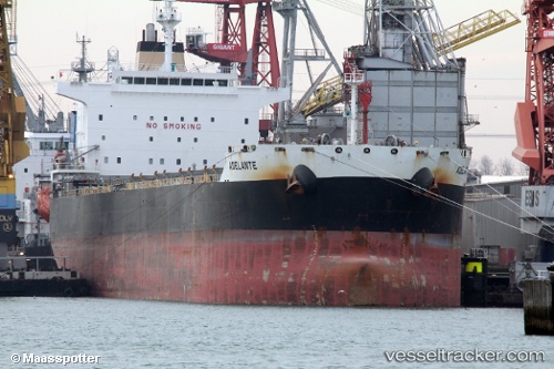
 Adelante
Current Status
Where is the vessel?
Adelante is currently in 11 nm SE of Santan Terminal, based on AIS data received less than 1h ago.
Latest AIS update:
Current position: 0.26717° S, 117.61889° E (11 nm SE of Santan Terminal)
Average speed (last 7 days): Loading…
Average speed (last 30 days): Loading…
Vessel profile: Adelante is a Bulk Carrier with dimensions 229m x 32m.
This page combines live AIS, route history, probable destination signals, nearby traffic, and port activity for practical vessel monitoring.
The current position of vessel Adelante is -0.26717 lat / 117.61889 lng. Updated: 2026-04-30 19:56:44 UTCNearest reference points:
- Near Santan Terminal
- 16 nm SE of Santan Terminal
- 22 nm NE of Handil
Currently sailing under the flag of Bahamas ![]()
Adelante built in 2012 year
Deadweight:
81585 tDetails:
Live Vessel Adelante Analytics (details, animations, etc.)
Recent AIS points (UTC):
2026-04-30 16:08:44 UTC · -0.26537, 117.61833 · SOG 0.1 kn · COG 83°2026-04-30 17:29:44 UTC · -0.26653, 117.61854 · SOG 0.1 kn · COG 55°
2026-04-30 19:29:44 UTC · -0.26744, 117.61922 · SOG 0 kn · COG 25°
2026-04-30 19:56:44 UTC · -0.26717, 117.61889 · SOG 0.1 kn · COG 33°