 vesseltracker.com
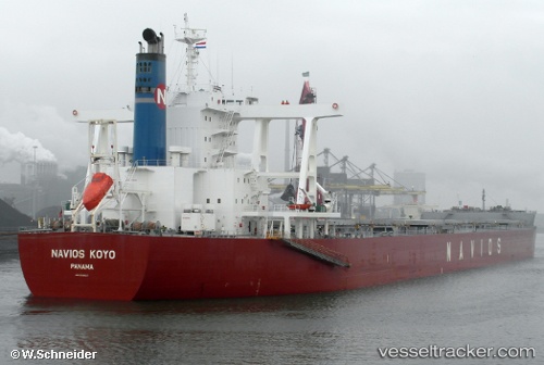
 Navios Koyo
Current Status
Where is the vessel?
Navios Koyo is currently in 51 nm W of Alcester Island, based on AIS data received less than 1h ago.
Latest AIS update:
Current position: 9.77403° S, 151.62273° E (51 nm W of Alcester Island)
Average speed (last 7 days): Loading…
Average speed (last 30 days): Loading…
Vessel profile: Navios Koyo is a Bulk Carrier with dimensions 292m x 45m.
This page combines live AIS, route history, probable destination signals, nearby traffic, and port activity for practical vessel monitoring.
The current position of vessel Navios Koyo is -9.77403 lat / 151.62273 lng. Updated: 2026-05-14 22:18:16 UTCCurrently sailing under the flag of Panama ![]()
Navios Koyo built in 2011 year
Deadweight:
181415 tDetails:
Live Vessel Navios Koyo Analytics (details, animations, etc.)
Recent AIS points (UTC):
2026-05-14 19:36:35 UTC · -9.26047, 151.46078 · SOG 12.3 kn · COG 162°2026-05-14 20:24:32 UTC · -9.41366, 151.50899 · SOG 11.7 kn · COG 162°
2026-05-14 21:46:54 UTC · -9.67342, 151.58476 · SOG 12.3 kn · COG 160°
2026-05-14 22:18:16 UTC · -9.77403, 151.62273 · SOG 12.4 kn · COG 158°