 vesseltracker.com
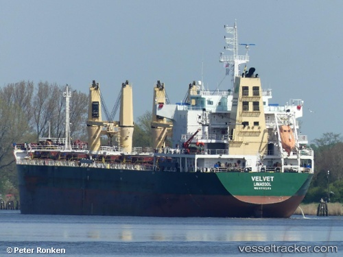
 SEALION
Current Status
Where is the vessel?
SEALION is currently in 58 nm N of Barcarena, based on AIS data received about 1h ago.
Latest AIS update:
Current position: 0.48792° N, 47.33573° W (58 nm N of Barcarena)
Average speed (last 7 days): Loading…
Average speed (last 30 days): Loading…
Vessel profile: SEALION is a Bulk Carrier with dimensions 27m x 177m.
This page combines live AIS, route history, probable destination signals, nearby traffic, and port activity for practical vessel monitoring.
The current position of vessel SEALION is 0.48792 lat / -47.33573 lng. Updated: 2026-05-15 13:41:24 UTCNearest reference points:
- Near Belem
- 70 nm N of Tucuma
Currently sailing under the flag of Marshall Islands ![]()
SEALION built in 2012 year
Deadweight:
32860 tDetails:
Live Vessel SEALION Analytics (details, animations, etc.)
Recent AIS points (UTC):
2026-05-15 10:43:38 UTC · -0.02333, -47.64333 · SOG 10 kn · COG -1°2026-05-15 12:04:36 UTC · 0.19833, -47.50500 · SOG 11 kn · COG -1°
2026-05-15 13:13:36 UTC · 0.40333, -47.38333 · SOG 12 kn · COG -1°
2026-05-15 13:41:24 UTC · 0.48792, -47.33573 · SOG 12.4 kn · COG 30°