 vesseltracker.com
 SERAPHIM
Current Status
Where is the vessel?
SERAPHIM is currently in 12 nm SW of GEDSER, based on AIS data received less than 1h ago.
Latest AIS update:
Current position: 54.47080° N, 11.64161° E (12 nm SW of GEDSER)
Average speed (last 7 days): Loading…
Average speed (last 30 days): Loading…
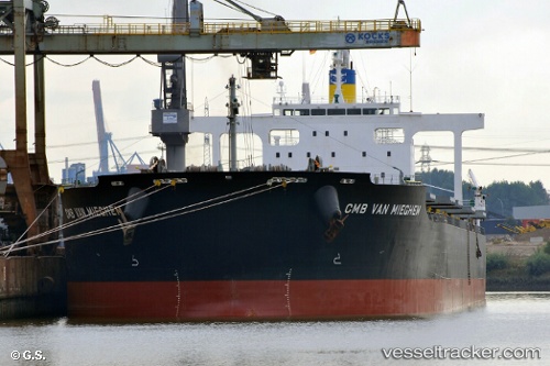
Vessel profile: SERAPHIM is a Bulk Carrier with dimensions m x m.
This page combines live AIS, route history, probable destination signals, nearby traffic, and port activity for practical vessel monitoring.
The current position of vessel SERAPHIM is 54.47080 lat / 11.64161 lng. Updated: 2026-05-16 10:03:07 UTCNearest reference points:
- Near GEDSER
- Near Reersoe
- Near BURGSTAAKEN
Currently sailing under the flag of Liberia ![]()
Details:
Live Vessel SERAPHIM Analytics (details, animations, etc.)
Recent AIS points (UTC):
2026-05-16 07:30:07 UTC · 54.54860, 12.24061 · SOG 9.9 kn · COG 198°2026-05-16 07:43:07 UTC · 54.51441, 12.22160 · SOG 10 kn · COG 198°
2026-05-16 09:35:17 UTC · 54.44090, 11.77534 · SOG 10.6 kn · COG 286°
2026-05-16 10:03:07 UTC · 54.47080, 11.64161 · SOG 10.9 kn · COG 294°