 vesseltracker.com
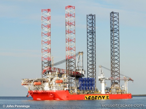
 BLUE TERN
Current Status
Where is the vessel?
BLUE TERN is currently in Near BOTLEK - ROTTERDAM, based on AIS data received about 1h ago.
Latest AIS update:
Current position: 51.89030° N, 4.29803° E (Near BOTLEK - ROTTERDAM)
Average speed (last 7 days): Loading…
Average speed (last 30 days): Loading…
Vessel profile: BLUE TERN is a Offshore Support Vessel with dimensions 151m x 50m.
This page combines live AIS, route history, probable destination signals, nearby traffic, and port activity for practical vessel monitoring.
The current position of vessel BLUE TERN is 51.8903 lat / 4.29803 lng. Updated: 2026-05-16 01:50:37 UTCNearest reference points:
- Near BOTLEK - ROTTERDAM
- Near Vlaardingen
- Near VLAARDINGEN - ROTTERDAM
Currently sailing under the flag of Malta ![]()
BLUE TERN built in 2012 year
Deadweight:
11013 tDetails:
Live Vessel BLUE TERN Analytics (details, animations, etc.)
Recent AIS points (UTC):
2026-05-15 22:11:31 UTC · 51.89040, 4.29791 · SOG 0 kn · COG 76°2026-05-15 23:44:32 UTC · 51.89040, 4.29810 · SOG 0 kn · COG 76°
2026-05-16 01:26:36 UTC · 51.89030, 4.29794 · SOG 0 kn · COG 76°
2026-05-16 01:50:37 UTC · 51.89030, 4.29803 · SOG 0 kn · COG 76°