 vesseltracker.com
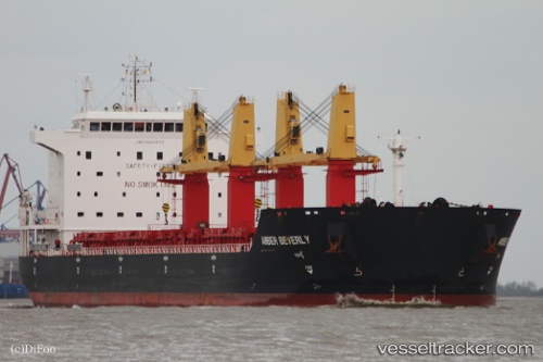
 FIGEAC
Current Status
Where is the vessel?
FIGEAC is currently in Near Majistan/Zhoushan, based on AIS data received about 2h ago.
Latest AIS update:
Current position: 30.11305° N, 122.17776° E (Near Majistan/Zhoushan)
Average speed (last 7 days): Loading…
Average speed (last 30 days): Loading…
Vessel profile: FIGEAC is a Bulk Carrier with dimensions 32m x 190m.
This page combines live AIS, route history, probable destination signals, nearby traffic, and port activity for practical vessel monitoring.
The current position of vessel FIGEAC is 30.11305 lat / 122.17776 lng. Updated: 2026-05-14 07:52:48 UTCNearest reference points:
- Near Majistan/Zhoushan
- Near JINHAI HEAVY INDUSTR
- Near ZHOUSHAN
Currently sailing under the flag of Liberia ![]()
FIGEAC built in 2011 year
Deadweight:
53177 tDetails:
Live Vessel FIGEAC Analytics (details, animations, etc.)
Recent AIS points (UTC):
2026-05-14 04:25:51 UTC · 30.11302, 122.17772 · SOG 0.1 kn · COG 178°2026-05-14 06:28:48 UTC · 30.11307, 122.17773 · SOG 0 kn · COG 178°
2026-05-14 07:34:49 UTC · 30.11303, 122.17777 · SOG 0.1 kn · COG 178°
2026-05-14 07:52:48 UTC · 30.11305, 122.17776 · SOG 0 kn · COG 178°