 vesseltracker.com
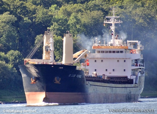
 NACC POROS
Current Status
Where is the vessel?
NACC POROS is currently in Near Boeing Field Apt, based on AIS data received less than 1h ago.
Latest AIS update:
Current position: 47.55470° N, 122.34300° W (Near Boeing Field Apt)
Average speed (last 7 days): Loading…
Average speed (last 30 days): Loading…
Vessel profile: NACC POROS is a Cement Carrier with dimensions 17m x 120m.
This page combines live AIS, route history, probable destination signals, nearby traffic, and port activity for practical vessel monitoring.
The current position of vessel NACC POROS is 47.55470 lat / -122.34300 lng. Updated: 2026-04-29 04:08:05 UTCNearest reference points:
- Near Interbay
- Near Madison Park
- Near Boeing Field Apt
Currently sailing under the flag of Portugal (MAR) ![]()
NACC POROS built in 2012 year
Deadweight:
8107 tDetails:
Live Vessel NACC POROS Analytics (details, animations, etc.)
Recent AIS points (UTC):
2026-04-29 01:01:57 UTC · 47.55475, -122.34340 · SOG 0 kn · COG 340°2026-04-29 01:28:58 UTC · 47.55473, -122.34341 · SOG 0 kn · COG 340°
2026-04-29 03:37:58 UTC · 47.55473, -122.34341 · SOG 0 kn · COG 340°
2026-04-29 04:08:05 UTC · 47.55470, -122.34300 · SOG 0 kn · COG 340°