 vesseltracker.com
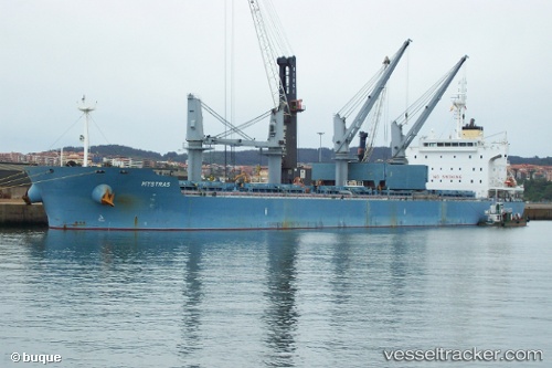
 SAFFRON
Current Status
Where is the vessel?
SAFFRON is currently in 14 nm W of Wadi Feiran, based on AIS data received about 1h ago.
Latest AIS update:
Current position: 28.69333° N, 32.94333° E (14 nm W of Wadi Feiran)
Average speed (last 7 days): Loading…
Average speed (last 30 days): Loading…
Vessel profile: SAFFRON is a Bulk Carrier with dimensions m x m.
This page combines live AIS, route history, probable destination signals, nearby traffic, and port activity for practical vessel monitoring.
The current position of vessel SAFFRON is 28.69333 lat / 32.94333 lng. Updated: 2026-04-24 22:05:31 UTCNearest reference points:
- Near Ras Gharib
- Near Ras Sudr
- Near Al Adabiyah
Currently sailing under the flag of Marshall Islands ![]()
Details:
Live Vessel SAFFRON Analytics (details, animations, etc.)
Recent AIS points (UTC):
2026-04-24 19:10:06 UTC · 29.16598, 32.73313 · SOG 10.5 kn · COG 160°2026-04-24 19:10:06 UTC · 29.16598, 32.73313 · SOG 10.5 kn · COG 160°
2026-04-24 21:59:33 UTC · 28.70667, 32.93333 · SOG 9 kn · COG -1°
2026-04-24 22:05:31 UTC · 28.69333, 32.94333 · SOG 9 kn · COG -1°