 vesseltracker.com
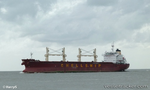
 LADY ANASTASIA
Current Status
Where is the vessel?
LADY ANASTASIA is currently in 14 nm SW of ABU MUSA, based on AIS data received about 2d ago.
Latest AIS update:
Current position: 25.70954° N, 54.82798° E (14 nm SW of ABU MUSA)
Average speed (last 7 days): Loading…
Average speed (last 30 days): Loading…
Vessel profile: LADY ANASTASIA is a Bulk Carrier with dimensions m x m.
This page combines live AIS, route history, probable destination signals, nearby traffic, and port activity for practical vessel monitoring.
The current position of vessel LADY ANASTASIA is 25.70954 lat / 54.82798 lng. Updated: 2026-05-11 09:22:47 UTCNearest reference points:
- 17 nm NW of Free Port
- Near Free Port
- 11 nm SW of Fateh Terminal
Currently sailing under the flag of Bahamas ![]()
Details:
Live Vessel LADY ANASTASIA Analytics (details, animations, etc.)
Recent AIS points (UTC):
2026-05-11 09:22:47 UTC · 25.70954, 54.82798 · SOG 0.3 kn · COG 251°2026-05-11 09:22:47 UTC · 25.70954, 54.82798 · SOG 0.3 kn · COG 251°
2026-05-11 09:22:47 UTC · 25.70954, 54.82798 · SOG 0.3 kn · COG 251°
2026-05-11 09:22:47 UTC · 25.70954, 54.82798 · SOG 0.3 kn · COG 251°