 vesseltracker.com
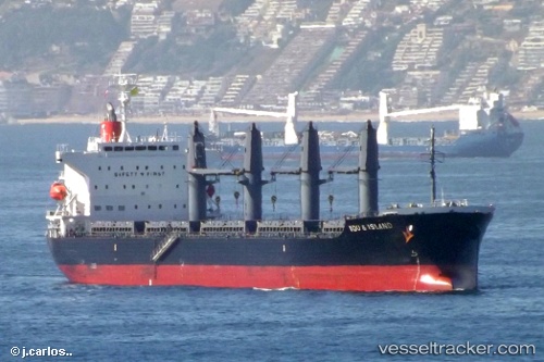
 GULLHOLMEN ISLAND
Current Status
Where is the vessel?
GULLHOLMEN ISLAND is currently in 18 nm SW of Isla Guarello, based on AIS data received less than 1h ago.
Latest AIS update:
Current position: 52.89409° S, 73.99721° W (18 nm SW of Isla Guarello)
Average speed (last 7 days): Loading…
Average speed (last 30 days): Loading…
Vessel profile: GULLHOLMEN ISLAND is a Bulk Carrier with dimensions 30m x 180m.
This page combines live AIS, route history, probable destination signals, nearby traffic, and port activity for practical vessel monitoring.
The current position of vessel GULLHOLMEN ISLAND is -52.89409 lat / -73.99721 lng. Updated: 2026-05-16 10:24:57 UTCCurrently sailing under the flag of Hong Kong, China ![]()
GULLHOLMEN ISLAND built in 2011 year
Deadweight:
38309 tDetails:
Live Vessel GULLHOLMEN ISLAND Analytics (details, animations, etc.)
Recent AIS points (UTC):
2026-05-16 07:31:26 UTC · -52.62383, -74.74033 · SOG 9.6 kn · COG 121°2026-05-16 08:04:04 UTC · -52.67312, -74.61203 · SOG 10.6 kn · COG 120°
2026-05-16 10:13:51 UTC · -52.87654, -74.04543 · SOG 11.4 kn · COG 120°
2026-05-16 10:24:57 UTC · -52.89409, -73.99721 · SOG 11.2 kn · COG 121°