 vesseltracker.com
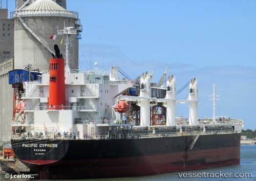
 AGIA CHARIS
Current Status
Where is the vessel?
AGIA CHARIS is currently in 25 nm S of Klamila, based on AIS data received less than 1h ago.
Latest AIS update:
Current position: 60.09963° N, 27.50598° E (25 nm S of Klamila)
Average speed (last 7 days): Loading…
Average speed (last 30 days): Loading…
Vessel profile: AGIA CHARIS is a Bulk Carrier with dimensions m x m.
This page combines live AIS, route history, probable destination signals, nearby traffic, and port activity for practical vessel monitoring.
The current position of vessel AGIA CHARIS is 60.09963 lat / 27.50598 lng. Updated: 2026-05-13 22:43:48 UTCNearest reference points:
- 27 nm S of Klamila
- Near Lakulahti
- Near VISTINO
Currently sailing under the flag of Marshall Islands ![]()
Details:
Live Vessel AGIA CHARIS Analytics (details, animations, etc.)
Recent AIS points (UTC):
2026-05-13 19:15:17 UTC · 59.92838, 26.22661 · SOG 11.8 kn · COG 76°2026-05-13 20:17:18 UTC · 59.98891, 26.61958 · SOG 12 kn · COG 79°
2026-05-13 21:33:27 UTC · 59.97775, 27.09943 · SOG 11.9 kn · COG 59°
2026-05-13 22:43:48 UTC · 60.09963, 27.50598 · SOG 12.3 kn · COG 65°