 vesseltracker.com
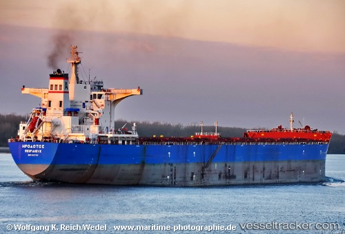
 Herodotus
Current Status
Where is the vessel?
Herodotus is currently in 218 nm N of Omura, based on AIS data received about 1h ago.
Latest AIS update:
Current position: 30.66660° N, 142.79639° E (218 nm N of Omura)
Average speed (last 7 days): Loading…
Average speed (last 30 days): Loading…
Vessel profile: Herodotus is a Bulk Carrier with dimensions 292m x 45m.
This page combines live AIS, route history, probable destination signals, nearby traffic, and port activity for practical vessel monitoring.
The current position of vessel Herodotus is 30.66660 lat / 142.79639 lng. Updated: 2026-05-17 22:02:47 UTCCurrently sailing under the flag of Greece ![]()
Herodotus built in 2012 year
Deadweight:
176000 tDetails:
Live Vessel Herodotus Analytics (details, animations, etc.)
Recent AIS points (UTC):
2026-05-17 19:34:03 UTC · 30.66211, 143.23071 · SOG 8.8 kn · COG 269°2026-05-17 19:59:05 UTC · 30.66183, 143.15926 · SOG 9 kn · COG 270°
2026-05-17 21:43:08 UTC · 30.66426, 142.85275 · SOG 9.1 kn · COG 275°
2026-05-17 22:02:47 UTC · 30.66660, 142.79639 · SOG 8.9 kn · COG 277°