 vesseltracker.com
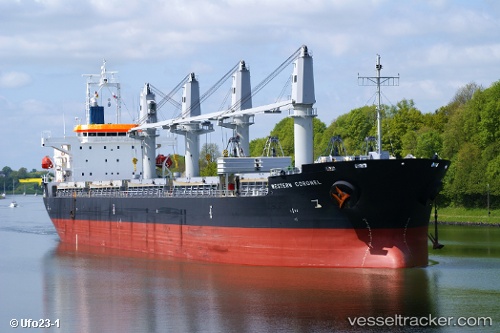
 T CLEVER
Current Status
Where is the vessel?
T CLEVER is currently in 45 nm E of Offshore Corpus Christi, based on AIS data received about 2h ago.
Latest AIS update:
Current position: 27.27748° N, 95.99753° W (45 nm E of Offshore Corpus Christi)
Average speed (last 7 days): Loading…
Average speed (last 30 days): Loading…
Vessel profile: T CLEVER is a Cargo with dimensions m x m.
This page combines live AIS, route history, probable destination signals, nearby traffic, and port activity for practical vessel monitoring.
The current position of vessel T CLEVER is 27.27748 lat / -95.99753 lng. Updated: 2026-04-28 17:31:23 UTCNearest reference points:
- 10 nm E of Port Aransas
- Near Port Aransas
- Near PORT ARANSAS
Currently sailing under the flag of Panama ![]()
Details:
Live Vessel T CLEVER Analytics (details, animations, etc.)
Recent AIS points (UTC):
2026-04-28 13:31:54 UTC · 26.60596, -95.45822 · SOG 12.3 kn · COG 318°2026-04-28 15:21:54 UTC · 26.91048, -95.70577 · SOG 12.2 kn · COG 326°
2026-04-28 16:30:14 UTC · 27.10216, -95.85710 · SOG 12.5 kn · COG 326°
2026-04-28 17:31:23 UTC · 27.27748, -95.99753 · SOG 12.9 kn · COG 326°