 vesseltracker.com
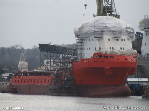
 Rem Andes
Current Status
Where is the vessel?
Rem Andes is currently in Near Gulfport, based on AIS data received about 112d ago.
Latest AIS update:
Current position: 30.35843° N, 89.09002° W (Near Gulfport)
Average speed (last 7 days): Loading…
Average speed (last 30 days): Loading…
Vessel profile: Rem Andes is a Offshore Tug Supply Ship with dimensions 88m x 19m.
This page combines live AIS, route history, probable destination signals, nearby traffic, and port activity for practical vessel monitoring.
The current position of vessel Rem Andes is 30.35843 lat / -89.09002 lng. Updated: 2026-01-21 09:08:49 UTCNearest reference points:
- Near Diberville
- Near Ocean Springs
- Near Pascagoula
Currently sailing under the flag of Bahamas ![]()
Details:
Live Vessel Rem Andes Analytics (details, animations, etc.)
Recent AIS points (UTC):
2026-01-21 09:08:49 UTC · 30.35843, -89.09002 · SOG 0 kn · COG 326°