 vesseltracker.com
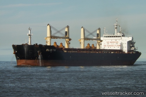
Blue Fin
Current StatusWhere is the vessel?
Blue Fin is currently in Near Chittagong, based on AIS data received less than 1h ago.
Latest AIS update:
Current position: 22.24260° N, 91.75470° E (Near Chittagong)
Average speed (last 7 days): Loading…
Average speed (last 30 days): Loading…
Vessel profile: Blue Fin is a Bulk Carrier with dimensions 32m x 190m.
This page combines live AIS, route history, probable destination signals, nearby traffic, and port activity for practical vessel monitoring.
The current position of vessel Blue Fin is 22.2426 lat / 91.7547 lng. Updated: 2026-04-19 16:49:48 UTCNearest reference points:
- Near Chittagong
- 12 nm NW of Chattogram
- 23 nm NW of Cox's Bazar
Details:
Live Vessel Blue Fin Analytics (details, animations, etc.)
Recent AIS points (UTC):
2026-04-19 13:28:52 UTC · 22.23730, 91.75470 · SOG 0 kn · COG 331°2026-04-19 13:34:52 UTC · 22.23720, 91.75460 · SOG 0.1 kn · COG 329°
2026-04-19 15:55:49 UTC · 22.24260, 91.75450 · SOG 0.2 kn · COG 167°
2026-04-19 16:49:48 UTC · 22.24260, 91.75470 · SOG 0.1 kn · COG 149°