 vesseltracker.com
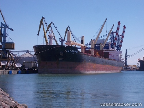
 Yellow Fin
Current Status
Where is the vessel?
Yellow Fin is currently in 19 nm SE of ARKLOW, based on AIS data received about 1h ago.
Latest AIS update:
Current position: 52.64280° N, 5.70114° W (19 nm SE of ARKLOW)
Average speed (last 7 days): Loading…
Average speed (last 30 days): Loading…
Vessel profile: Yellow Fin is a Bulk Carrier with dimensions 190m x 31m.
This page combines live AIS, route history, probable destination signals, nearby traffic, and port activity for practical vessel monitoring.
The current position of vessel Yellow Fin is 52.6428 lat / -5.70114 lng. Updated: 2026-05-16 17:55:10 UTCNearest reference points:
- Near ARKLOW
- Near WICKLOW
- Near Dun Laoghaire
Currently sailing under the flag of Malta ![]()
Yellow Fin built in 2011 year
Deadweight:
56780 tDetails:
Live Vessel Yellow Fin Analytics (details, animations, etc.)
Recent AIS points (UTC):
2026-05-16 13:29:57 UTC · 51.89610, -6.29843 · SOG 10.2 kn · COG 37°2026-05-16 15:41:56 UTC · 52.20370, -5.96063 · SOG 10.9 kn · COG 25°
2026-05-16 17:02:38 UTC · 52.45980, -5.80870 · SOG 13.1 kn · COG 23°
2026-05-16 17:55:10 UTC · 52.64280, -5.70114 · SOG 13.8 kn · COG 21°