 vesseltracker.com
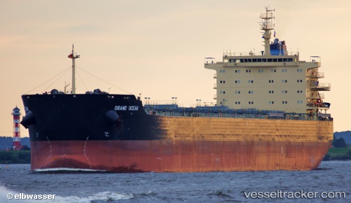
 ALEXIS
Current Status
Where is the vessel?
ALEXIS is currently in Open sea (no nearby ports in database), based on AIS data received about 3h ago.
Latest AIS update:
Current position: 32.04421° S, 1.36241° W (Open sea (no nearby ports in database))
Average speed (last 7 days): Loading…
Average speed (last 30 days): Loading…
Vessel profile: ALEXIS is a Bulk Carrier with dimensions 32m x 229m.
This page combines live AIS, route history, probable destination signals, nearby traffic, and port activity for practical vessel monitoring.
The current position of vessel ALEXIS is -32.04421 lat / -1.36241 lng. Updated: 2026-05-13 19:04:59 UTCNearest reference points:
- Open sea (no nearby ports in database)
Currently sailing under the flag of Liberia ![]()
ALEXIS built in 2012 year
Deadweight:
81622 tDetails:
Live Vessel ALEXIS Analytics (details, animations, etc.)
Recent AIS points (UTC):
2026-05-13 16:23:39 UTC · -32.11410, -0.80925 · SOG 11 kn · COG 275°2026-05-13 18:10:20 UTC · -32.06729, -1.17594 · SOG 10.5 kn · COG 280°
2026-05-13 19:04:59 UTC · -32.04421, -1.36241 · SOG 10.3 kn · COG 281°
2026-05-13 19:04:59 UTC · -32.04421, -1.36241 · SOG 10.3 kn · COG 281°