 vesseltracker.com
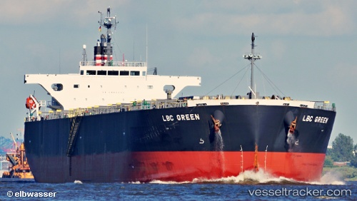
 LB GREEN
Current Status
Where is the vessel?
LB GREEN is currently in Near Varna, based on AIS data received less than 1h ago.
Latest AIS update:
Current position: 43.19201° N, 27.90389° E (Near Varna)
Average speed (last 7 days): Loading…
Average speed (last 30 days): Loading…
Vessel profile: LB GREEN is a Wood Chips Carrier with dimensions m x m.
This page combines live AIS, route history, probable destination signals, nearby traffic, and port activity for practical vessel monitoring.
The current position of vessel LB GREEN is 43.19201 lat / 27.90389 lng. Updated: 2026-05-13 21:31:50 UTCNearest reference points:
- Near Varna
- Near Ignatievo
- Near Beloslav
Currently sailing under the flag of Marshall Islands ![]()
Details:
Live Vessel LB GREEN Analytics (details, animations, etc.)
Recent AIS points (UTC):
2026-05-13 18:16:51 UTC · 43.19207, 27.90392 · SOG 0 kn · COG 296°2026-05-13 19:16:49 UTC · 43.19206, 27.90398 · SOG 0 kn · COG 296°
2026-05-13 20:13:50 UTC · 43.19214, 27.90391 · SOG 0 kn · COG 296°
2026-05-13 21:31:50 UTC · 43.19201, 27.90389 · SOG 0 kn · COG 296°