 vesseltracker.com
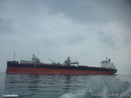
Santa Emilia
Current StatusWhere is the vessel?
Santa Emilia is currently in Near Oakland, based on AIS data received less than 1h ago.
Latest AIS update:
Current position: 37.71568° N, 122.32950° W (Near Oakland)
Average speed (last 7 days): Loading…
Average speed (last 30 days): Loading…
Vessel profile: Santa Emilia is a Bulk Carrier with dimensions 32m x 224m.
This page combines live AIS, route history, probable destination signals, nearby traffic, and port activity for practical vessel monitoring.
The current position of vessel Santa Emilia is 37.71568 lat / -122.32950 lng. Updated: 2026-05-16 05:38:55 UTCNearest reference points:
- Near Oakland
- Near Treasure Island/Los Angeles
- Near San Francisco
Details:
Live Vessel Santa Emilia Analytics (details, animations, etc.)
Recent AIS points (UTC):
2026-05-16 02:11:57 UTC · 37.66155, -122.77128 · SOG 6.6 kn · COG 67°2026-05-16 04:17:51 UTC · 37.81324, -122.40078 · SOG 14.1 kn · COG 135°
2026-05-16 04:42:38 UTC · 37.73032, -122.34990 · SOG 10.7 kn · COG 160°
2026-05-16 05:38:55 UTC · 37.71568, -122.32950 · SOG 0.2 kn · COG 324°