 vesseltracker.com
 NAXOS
NAXOS
Current Status
Where is the vessel?
NAXOS is currently in 18 nm NE of Caioba, based on AIS data received about 2h ago.
Latest AIS update:
Current position: 25.71934° S, 48.22724° W (18 nm NE of Caioba)
Average speed (last 7 days): Loading…
Average speed (last 30 days): Loading…
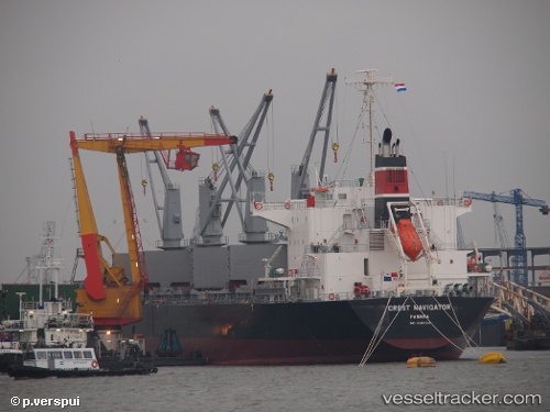
Vessel profile: NAXOS is a Bulk Carrier with dimensions 177m x 29m.
This page combines live AIS, route history, probable destination signals, nearby traffic, and port activity for practical vessel monitoring.
The current position of vessel NAXOS is -25.71934 lat / -48.22724 lng. Updated: 2026-05-14 07:42:31 UTCNearest reference points:
- 24 nm E of Caioba
- 32 nm E of Caioba
- 10 nm NE of CAMBORIU
Currently sailing under the flag of Barbados ![]()
NAXOS built in 2012 year
Deadweight:
36360 tDetails:
Live Vessel NAXOS Analytics (details, animations, etc.)
Recent AIS points (UTC):
2026-05-14 04:06:32 UTC · -25.71779, -48.22845 · SOG 0.3 kn · COG 195°2026-05-14 06:09:30 UTC · -25.71904, -48.22717 · SOG 0.2 kn · COG 254°
2026-05-14 07:06:31 UTC · -25.71952, -48.22724 · SOG 0.6 kn · COG 263°
2026-05-14 07:42:31 UTC · -25.71934, -48.22724 · SOG 0.2 kn · COG 258°