 vesseltracker.com
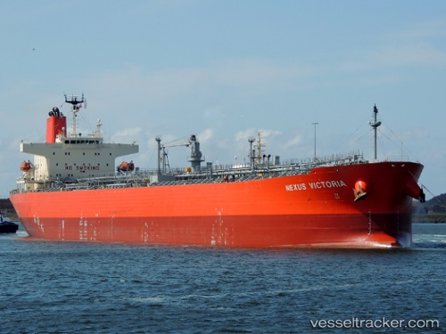
 Nexus Victoria
Current Status
Where is the vessel?
Nexus Victoria is currently in 213 nm SE of Quiterianópolis, based on AIS data received less than 1h ago.
Latest AIS update:
Current position: 3.07377° N, 38.47645° W (213 nm SE of Quiterianópolis)
Average speed (last 7 days): Loading…
Average speed (last 30 days): Loading…
Vessel profile: Nexus Victoria is a Oil Products Tanker with dimensions 228m x 228m.
This page combines live AIS, route history, probable destination signals, nearby traffic, and port activity for practical vessel monitoring.
The current position of vessel Nexus Victoria is 3.07377 lat / -38.47645 lng. Updated: 2026-05-14 22:22:54 UTCCurrently sailing under the flag of United Kingdom ![]()
Details:
Live Vessel Nexus Victoria Analytics (details, animations, etc.)
Recent AIS points (UTC):
2026-05-14 19:24:46 UTC · 2.92747, -38.10387 · SOG 8.1 kn · COG 296°2026-05-14 19:42:42 UTC · 2.94165, -38.14237 · SOG 8.2 kn · COG 296°
2026-05-14 21:37:54 UTC · 3.03637, -38.38460 · SOG 7.7 kn · COG 297°
2026-05-14 22:22:54 UTC · 3.07377, -38.47645 · SOG 7.9 kn · COG 298°