 vesseltracker.com
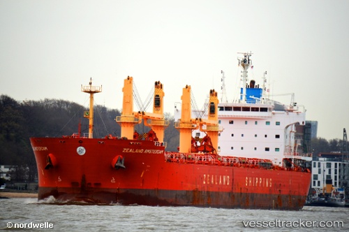
 JERA
JERA
Current Status
Where is the vessel?
JERA is currently in Open sea (no nearby ports in database), based on AIS data received less than 1h ago.
Latest AIS update:
Current position: 29.92986° S, 0.06188° W (Open sea (no nearby ports in database))
Average speed (last 7 days): Loading…
Average speed (last 30 days): Loading…
Vessel profile: JERA is a Cargo with dimensions m x m.
This page combines live AIS, route history, probable destination signals, nearby traffic, and port activity for practical vessel monitoring.
The current position of vessel JERA is -29.92986 lat / -0.06188 lng. Updated: 2026-05-15 01:11:18 UTCNearest reference points:
- Open sea (no nearby ports in database)
Currently sailing under the flag of Thailand ![]()
Details:
Live Vessel JERA Analytics (details, animations, etc.)
Recent AIS points (UTC):
2026-05-14 22:18:58 UTC · -29.70800, -0.65750 · SOG 11.8 kn · COG 113°2026-05-14 22:56:17 UTC · -29.75717, -0.52642 · SOG 12 kn · COG 113°
2026-05-14 23:46:00 UTC · -29.81867, -0.35289 · SOG 11.8 kn · COG 113°
2026-05-15 01:11:18 UTC · -29.92986, -0.06188 · SOG 11.7 kn · COG 111°