 vesseltracker.com
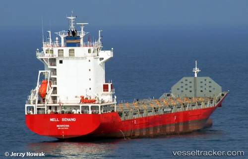
 Kalamazoo
Current Status
Where is the vessel?
Kalamazoo is currently in 35 nm S of HAMAJIMA, based on AIS data received less than 1h ago.
Latest AIS update:
Current position: 33.72667° N, 136.89000° E (35 nm S of HAMAJIMA)
Average speed (last 7 days): Loading…
Average speed (last 30 days): Loading…
Vessel profile: Kalamazoo is a Container Ship with dimensions 143m x 23m.
This page combines live AIS, route history, probable destination signals, nearby traffic, and port activity for practical vessel monitoring.
The current position of vessel Kalamazoo is 33.72667 lat / 136.89000 lng. Updated: 2026-04-30 22:04:11 UTCNearest reference points:
- 20 nm S of HAMAJIMA
- 12 nm E of TOBA
- Near TOBA
Currently sailing under the flag of Singapore ![]()
Kalamazoo built in 2013 year
Deadweight:
12593 tDetails:
Live Vessel Kalamazoo Analytics (details, animations, etc.)
Recent AIS points (UTC):
2026-04-30 17:24:14 UTC · 33.42593, 136.09120 · SOG 11 kn · COG 50°2026-04-30 19:14:13 UTC · 33.56124, 136.41064 · SOG 10.1 kn · COG 70°
2026-04-30 19:29:05 UTC · 33.57392, 136.45871 · SOG 10.5 kn · COG 65°
2026-04-30 22:04:11 UTC · 33.72667, 136.89000 · SOG 6 kn · COG -1°