 vesseltracker.com
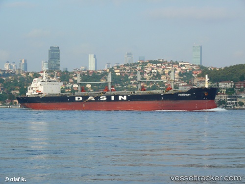
 FEHU
FEHU
Current Status
Where is the vessel?
FEHU is currently in 62 nm W of Yanbu al-Bahr, based on AIS data received less than 1h ago.
Latest AIS update:
Current position: 23.99897° N, 36.90229° E (62 nm W of Yanbu al-Bahr)
Average speed (last 7 days): Loading…
Average speed (last 30 days): Loading…
Vessel profile: FEHU is a Cargo with dimensions m x m.
This page combines live AIS, route history, probable destination signals, nearby traffic, and port activity for practical vessel monitoring.
The current position of vessel FEHU is 23.99897 lat / 36.90229 lng. Updated: 2026-05-15 11:42:24 UTCNearest reference points:
- 74 nm SW of Yanbu
- 35 nm S of Umm Lajj
- 30 nm SW of Yanbu
Currently sailing under the flag of Marshall Islands ![]()
Details:
Live Vessel FEHU Analytics (details, animations, etc.)
Recent AIS points (UTC):
2026-05-15 07:53:21 UTC · 23.43406, 37.39346 · SOG 10.7 kn · COG 320°2026-05-15 09:41:14 UTC · 23.69785, 37.18085 · SOG 6.6 kn · COG 319°
2026-05-15 10:28:52 UTC · 23.81540, 37.07129 · SOG 11.8 kn · COG 318°
2026-05-15 11:42:24 UTC · 23.99897, 36.90229 · SOG 11.5 kn · COG 328°