 vesseltracker.com
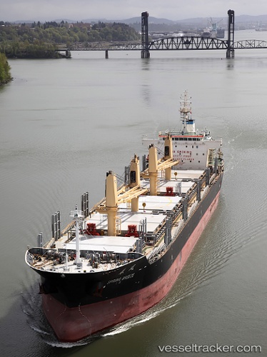
 SUNNY HONG
Current Status
Where is the vessel?
SUNNY HONG is currently in Near Mariel, based on AIS data received about 3d ago.
Latest AIS update:
Current position: 23.11167° N, 82.75667° W (Near Mariel)
Average speed (last 7 days): Loading…
Average speed (last 30 days): Loading…
Vessel profile: SUNNY HONG is a Bulk Carrier with dimensions m x m.
This page combines live AIS, route history, probable destination signals, nearby traffic, and port activity for practical vessel monitoring.
The current position of vessel SUNNY HONG is 23.11167 lat / -82.75667 lng. Updated: 2026-05-12 07:28:12 UTCNearest reference points:
- Near Mariel
- Near ALAMEDA DEL SIBONEY
- 40 nm S of Florida Straits
Currently sailing under the flag of Panama ![]()
Details:
Live Vessel SUNNY HONG Analytics (details, animations, etc.)
Recent AIS points (UTC):
2026-05-12 07:28:12 UTC · 23.11167, -82.75667 · SOG 9 kn · COG -1°2026-05-12 07:28:12 UTC · 23.11167, -82.75667 · SOG 9 kn · COG -1°
2026-05-12 07:28:12 UTC · 23.11167, -82.75667 · SOG 9 kn · COG -1°
2026-05-12 07:28:12 UTC · 23.11167, -82.75667 · SOG 9 kn · COG -1°