 vesseltracker.com
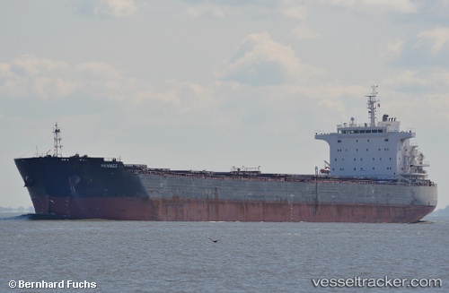
 Hermes
Current Status
Where is the vessel?
Hermes is currently in 249 nm SE of Frégate, based on AIS data received about 1h ago.
Latest AIS update:
Current position: 7.72333° S, 58.66500° E (249 nm SE of Frégate)
Average speed (last 7 days): Loading…
Average speed (last 30 days): Loading…
Vessel profile: Hermes is a Bulk Carrier with dimensions 225m x 32m.
This page combines live AIS, route history, probable destination signals, nearby traffic, and port activity for practical vessel monitoring.
The current position of vessel Hermes is -7.72333 lat / 58.66500 lng. Updated: 2026-05-13 23:40:12 UTCNearest reference points:
- Open sea, approx. 402 nm off the nearest listed port
- Open sea, approx. 408 nm off the nearest listed port
- Open sea, approx. 414 nm off the nearest listed port
Currently sailing under the flag of Liberia ![]()
Hermes built in 2012 year
Deadweight:
75200 tDetails:
Live Vessel Hermes Analytics (details, animations, etc.)
Recent AIS points (UTC):
2026-05-13 19:46:15 UTC · -7.38500, 59.36833 · SOG 12 kn · COG -1°2026-05-13 21:58:08 UTC · -7.57500, 58.96833 · SOG 12 kn · COG -1°
2026-05-13 22:37:11 UTC · -7.63167, 58.85167 · SOG 11 kn · COG -1°
2026-05-13 23:40:12 UTC · -7.72333, 58.66500 · SOG 12 kn · COG -1°