 vesseltracker.com
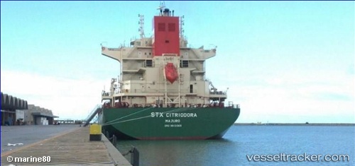
 Citriodora
Current Status
Where is the vessel?
Citriodora is currently in 222 nm N of Beija-Flor, based on AIS data received less than 1h ago.
Latest AIS update:
Current position: 1.33085° N, 42.24813° W (222 nm N of Beija-Flor)
Average speed (last 7 days): Loading…
Average speed (last 30 days): Loading…
Vessel profile: Citriodora is a General Cargo Ship with dimensions 200m x 32m.
This page combines live AIS, route history, probable destination signals, nearby traffic, and port activity for practical vessel monitoring.
The current position of vessel Citriodora is 1.33085 lat / -42.24813 lng. Updated: 2026-05-15 07:57:40 UTCNearest reference points:
- 223 nm SW of Juazeiro-Pi
Currently sailing under the flag of Marshall Is ![]()
Citriodora built in 2013 year
Deadweight:
57440 tDetails:
Live Vessel Citriodora Analytics (details, animations, etc.)
Recent AIS points (UTC):
2026-05-15 04:50:18 UTC · 1.77540, -42.76230 · SOG 12.9 kn · COG 132°2026-05-15 05:27:19 UTC · 1.68925, -42.66193 · SOG 13 kn · COG 133°
2026-05-15 07:40:58 UTC · 1.36932, -42.29445 · SOG 12.8 kn · COG 129°
2026-05-15 07:57:40 UTC · 1.33085, -42.24813 · SOG 12.9 kn · COG 132°