 vesseltracker.com
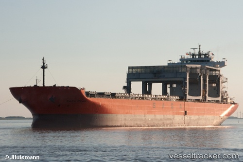
 SAGA FRAM
Current Status
Where is the vessel?
SAGA FRAM is currently in 208 nm NE of Parelhas, based on AIS data received less than 1h ago.
Latest AIS update:
Current position: 9.12833° N, 34.16667° W (208 nm NE of Parelhas)
Average speed (last 7 days): Loading…
Average speed (last 30 days): Loading…
Vessel profile: SAGA FRAM is a Cargo/Container Ship with dimensions m x m.
This page combines live AIS, route history, probable destination signals, nearby traffic, and port activity for practical vessel monitoring.
The current position of vessel SAGA FRAM is 9.12833 lat / -34.16667 lng. Updated: 2026-05-13 19:13:00 UTCNearest reference points:
- Open sea, approx. 400 nm off the nearest listed port
- Open sea, approx. 405 nm off the nearest listed port
- Open sea, approx. 410 nm off the nearest listed port
Currently sailing under the flag of Bahamas ![]()
Details:
Live Vessel SAGA FRAM Analytics (details, animations, etc.)
Recent AIS points (UTC):
2026-05-13 15:18:59 UTC · 8.66667, -34.60167 · SOG 9 kn · COG -1°2026-05-13 16:29:49 UTC · 8.81343, -34.47249 · SOG 9.7 kn · COG 43°
2026-05-13 18:20:11 UTC · 9.02574, -34.26646 · SOG 9.7 kn · COG 44°
2026-05-13 19:13:00 UTC · 9.12833, -34.16667 · SOG 9 kn · COG -1°