 vesseltracker.com
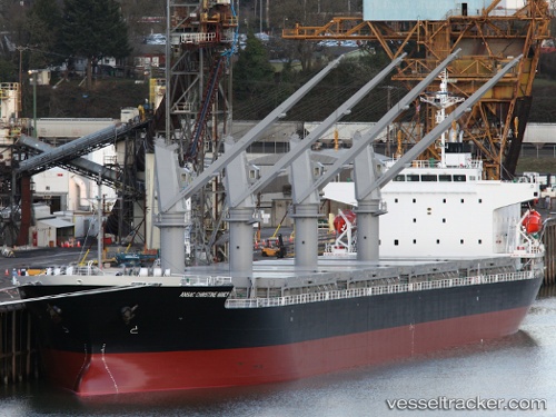
 IRIDA GS
Current Status
Where is the vessel?
IRIDA GS is currently in 54 nm SE of Lardos Rhodes, based on AIS data received less than 1h ago.
Latest AIS update:
Current position: 35.26415° N, 28.52814° E (54 nm SE of Lardos Rhodes)
Average speed (last 7 days): Loading…
Average speed (last 30 days): Loading…
Vessel profile: IRIDA GS is a General Cargo with dimensions m x m.
This page combines live AIS, route history, probable destination signals, nearby traffic, and port activity for practical vessel monitoring.
The current position of vessel IRIDA GS is 35.26415 lat / 28.52814 lng. Updated: 2026-05-15 16:10:45 UTCNearest reference points:
- 108 nm S of Kastellorizou (ex Megísti)
- Near Rhodes
- 18 nm E of Rhodes
Currently sailing under the flag of Marshall Islands ![]()
Details:
Live Vessel IRIDA GS Analytics (details, animations, etc.)
Recent AIS points (UTC):
2026-05-15 11:22:52 UTC · 34.77833, 29.36500 · SOG 10 kn · COG -1°2026-05-15 12:31:47 UTC · 34.89833, 29.15833 · SOG 10 kn · COG -1°
2026-05-15 12:31:47 UTC · 34.89833, 29.15833 · SOG 10 kn · COG -1°
2026-05-15 16:10:45 UTC · 35.26415, 28.52814 · SOG 10.5 kn · COG 301°