 vesseltracker.com
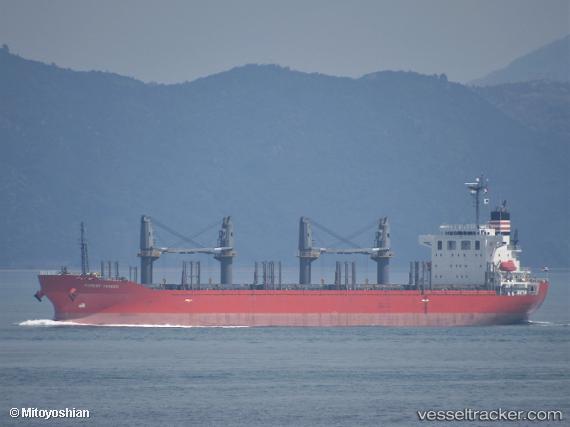
 Forest Trader
Current Status
Where is the vessel?
Forest Trader is currently in 14 nm SW of HIKARI, based on AIS data received less than 1h ago.
Latest AIS update:
Current position: 33.74945° N, 131.77412° E (14 nm SW of HIKARI)
Average speed (last 7 days): Loading…
Average speed (last 30 days): Loading…
Vessel profile: Forest Trader is a Bulk Carrier with dimensions 177m x 28m.
This page combines live AIS, route history, probable destination signals, nearby traffic, and port activity for practical vessel monitoring.
The current position of vessel Forest Trader is 33.74945 lat / 131.77412 lng. Updated: 2026-05-14 07:53:07 UTCNearest reference points:
- 14 nm SW of HIKARI
- 13 nm S of HIKARI
- 13 nm S of NAKANOSEKI
Currently sailing under the flag of Panama ![]()
Details:
Live Vessel Forest Trader Analytics (details, animations, etc.)
Recent AIS points (UTC):
2026-05-14 04:27:46 UTC · 33.91499, 131.09944 · SOG 11.5 kn · COG 127°2026-05-14 06:29:37 UTC · 33.79579, 131.51538 · SOG 10.5 kn · COG 102°
2026-05-14 07:36:26 UTC · 33.75657, 131.72646 · SOG 9.9 kn · COG 102°
2026-05-14 07:53:07 UTC · 33.74945, 131.77412 · SOG 6.5 kn · COG 102°