 vesseltracker.com
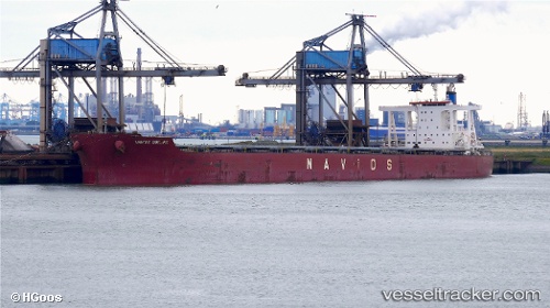
 PAROSHIP
Current Status
Where is the vessel?
PAROSHIP is currently in 13 nm SW of Buchanan, based on AIS data received about 1h ago.
Latest AIS update:
Current position: 5.76600° N, 10.26281° W (13 nm SW of Buchanan)
Average speed (last 7 days): Loading…
Average speed (last 30 days): Loading…
Vessel profile: PAROSHIP is a Bulk Carrier with dimensions m x m.
This page combines live AIS, route history, probable destination signals, nearby traffic, and port activity for practical vessel monitoring.
The current position of vessel PAROSHIP is 5.76600 lat / -10.26281 lng. Updated: 2026-05-14 03:51:18 UTCNearest reference points:
- 15 nm SW of Buchanan
- 110 nm SW of River Cess
- 98 nm SW of Harper
Currently sailing under the flag of Liberia ![]()
Details:
Live Vessel PAROSHIP Analytics (details, animations, etc.)
Recent AIS points (UTC):
2026-05-14 00:54:21 UTC · 5.76579, -10.26352 · SOG 0.1 kn · COG 162°2026-05-14 00:54:21 UTC · 5.76579, -10.26352 · SOG 0.1 kn · COG 162°
2026-05-14 02:57:22 UTC · 5.76597, -10.26303 · SOG 0.1 kn · COG 171°
2026-05-14 03:51:18 UTC · 5.76600, -10.26281 · SOG 0.1 kn · COG 179°