 vesseltracker.com
 Daytona Beach
Current Status
Where is the vessel?
Daytona Beach is currently in 16 nm SE of Beira, based on AIS data received less than 1h ago.
Latest AIS update:
Current position: 19.93545° S, 35.07713° E (16 nm SE of Beira)
Average speed (last 7 days): Loading…
Average speed (last 30 days): Loading…
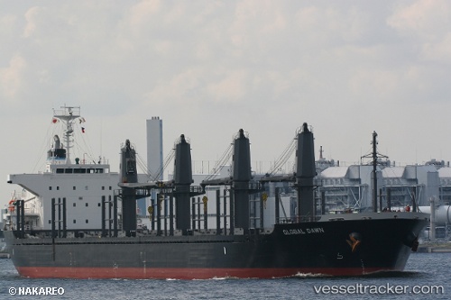
Vessel profile: Daytona Beach is a Bulk Carrier with dimensions 170m x 27m.
This page combines live AIS, route history, probable destination signals, nearby traffic, and port activity for practical vessel monitoring.
The current position of vessel Daytona Beach is -19.93545 lat / 35.07713 lng. Updated: 2026-05-17 16:55:22 UTCNearest reference points:
- 14 nm E of Beira
- 21 nm SE of Beira
- 24 nm SE of Beira
Currently sailing under the flag of Liberia ![]()
Daytona Beach built in 2012 year
Deadweight:
28233 tDetails:
Live Vessel Daytona Beach Analytics (details, animations, etc.)
Recent AIS points (UTC):
2026-05-17 13:43:22 UTC · -19.93572, 35.07453 · SOG 0 kn · COG 130°2026-05-17 14:04:22 UTC · -19.93554, 35.07471 · SOG 0.1 kn · COG 135°
2026-05-17 15:43:22 UTC · -19.93528, 35.07520 · SOG 0.3 kn · COG 161°
2026-05-17 16:55:22 UTC · -19.93545, 35.07713 · SOG 0.1 kn · COG 201°