 vesseltracker.com
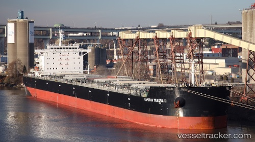
Star Charis
Current StatusWhere is the vessel?
Star Charis is currently in Near La Plata, based on AIS data received less than 1h ago.
Latest AIS update:
Current position: 34.72239° S, 57.83167° W (Near La Plata)
Average speed (last 7 days): Loading…
Average speed (last 30 days): Loading…
Vessel profile: Star Charis is a Bulk Carrier with dimensions 32m x 229m.
This page combines live AIS, route history, probable destination signals, nearby traffic, and port activity for practical vessel monitoring.
The current position of vessel Star Charis is -34.72239 lat / -57.83167 lng. Updated: 2026-04-27 07:19:45 UTCNearest reference points:
- Near JUAN LACAZE
- Near Dock Sur
- Near Avellaneda
Details:
Live Vessel Star Charis Analytics (details, animations, etc.)
Recent AIS points (UTC):
2026-04-27 03:40:49 UTC · -34.72394, -57.83115 · SOG 0 kn · COG 267°2026-04-27 05:04:48 UTC · -34.72279, -57.83153 · SOG 0 kn · COG 245°
2026-04-27 07:13:59 UTC · -34.72243, -57.83165 · SOG 0 kn · COG 242°
2026-04-27 07:19:45 UTC · -34.72239, -57.83167 · SOG 0 kn · COG 240°