 vesseltracker.com
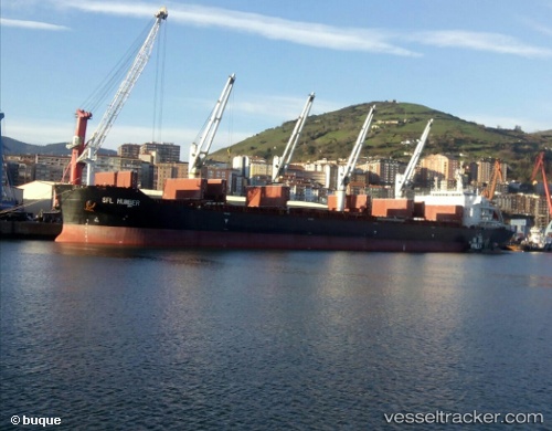
 NAJWA
NAJWA
Current Status
Where is the vessel?
NAJWA is currently in 180 nm W of Ile Desroches, based on AIS data received less than 1h ago.
Latest AIS update:
Current position: 5.16333° S, 50.71833° E (180 nm W of Ile Desroches)
Average speed (last 7 days): Loading…
Average speed (last 30 days): Loading…
Vessel profile: NAJWA is a Cargo with dimensions m x m.
This page combines live AIS, route history, probable destination signals, nearby traffic, and port activity for practical vessel monitoring.
The current position of vessel NAJWA is -5.16333 lat / 50.71833 lng. Updated: 2026-05-14 21:15:49 UTCNearest reference points:
- 118 nm W of Ile Desroches
- 219 nm W of Ile Desroches
Currently sailing under the flag of Liberia ![]()
Details:
Live Vessel NAJWA Analytics (details, animations, etc.)
Recent AIS points (UTC):
2026-05-14 17:37:45 UTC · -5.62291, 50.30211 · SOG 9.6 kn · COG 42°2026-05-14 17:56:08 UTC · -5.56759, 50.34942 · SOG 10.4 kn · COG 42°
2026-05-14 17:56:08 UTC · -5.56759, 50.34942 · SOG 10.4 kn · COG 42°
2026-05-14 21:15:49 UTC · -5.16333, 50.71833 · SOG 10 kn · COG -1°