 vesseltracker.com
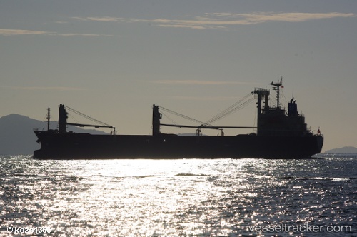
 Hayabusa
Current Status
Where is the vessel?
Hayabusa is currently in Near Perai, based on AIS data received about 1h ago.
Latest AIS update:
Current position: 5.38480° N, 100.36577° E (Near Perai)
Average speed (last 7 days): Loading…
Average speed (last 30 days): Loading…
Vessel profile: Hayabusa is a General Cargo Ship with dimensions 121m x 19m.
This page combines live AIS, route history, probable destination signals, nearby traffic, and port activity for practical vessel monitoring.
The current position of vessel Hayabusa is 5.38480 lat / 100.36577 lng. Updated: 2026-04-24 07:44:17 UTCNearest reference points:
- Near Mak Mandin
- Near Perai
- Near Pulau Tikus
Currently sailing under the flag of Panama ![]()
Details:
Live Vessel Hayabusa Analytics (details, animations, etc.)
Recent AIS points (UTC):
2026-04-24 04:11:17 UTC · 5.38469, 100.36584 · SOG 0.1 kn · COG 166°2026-04-24 06:26:17 UTC · 5.38480, 100.36578 · SOG 0.1 kn · COG 166°
2026-04-24 07:17:17 UTC · 5.38488, 100.36578 · SOG 0 kn · COG 166°
2026-04-24 07:44:17 UTC · 5.38480, 100.36577 · SOG 0.1 kn · COG 166°