 vesseltracker.com
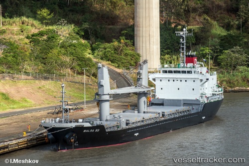
 Balsa 93
Current Status
Where is the vessel?
Balsa 93 is currently in 128 nm E of Willow Street, based on AIS data received about 1h ago.
Latest AIS update:
Current position: 30.29259° N, 73.91421° W (128 nm E of Willow Street)
Average speed (last 7 days): Loading…
Average speed (last 30 days): Loading…
Vessel profile: Balsa 93 is a General Cargo Ship with dimensions 106m x 19m.
This page combines live AIS, route history, probable destination signals, nearby traffic, and port activity for practical vessel monitoring.
The current position of vessel Balsa 93 is 30.29259 lat / -73.91421 lng. Updated: 2026-05-13 19:12:00 UTCNearest reference points:
- 113 nm NE of Green Turtle Cay
Currently sailing under the flag of Panama ![]()
Balsa 93 built in 2013 year
Deadweight:
7738 tDetails:
Live Vessel Balsa 93 Analytics (details, animations, etc.)
Recent AIS points (UTC):
2026-05-13 13:02:46 UTC · 29.25619, -73.73358 · SOG 11.7 kn · COG 351°2026-05-13 17:53:38 UTC · 30.06827, -73.87269 · SOG 10.3 kn · COG 355°
2026-05-13 19:12:00 UTC · 30.29259, -73.91421 · SOG 10.7 kn · COG 359°
2026-05-13 19:12:00 UTC · 30.29259, -73.91421 · SOG 10.7 kn · COG 359°