 vesseltracker.com
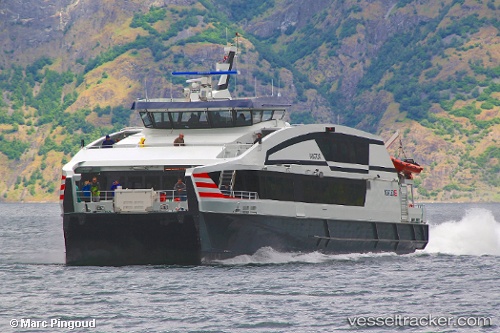
 Vingtor
Current Status
Where is the vessel?
Vingtor is currently in Near Bergen, based on AIS data received about 2h ago.
Latest AIS update:
Current position: 60.39510° N, 5.32293° E (Near Bergen)
Average speed (last 7 days): Loading…
Average speed (last 30 days): Loading…
Vessel profile: Vingtor is a Passenger Ro Ro Cargo Ship with dimensions 35m x 11m.
This page combines live AIS, route history, probable destination signals, nearby traffic, and port activity for practical vessel monitoring.
The current position of vessel Vingtor is 60.39510 lat / 5.32293 lng. Updated: 2026-05-15 01:13:42 UTCNearest reference points:
- Near Bergen
- Near Damsgård
- Near Skålevik
Currently sailing under the flag of Norway ![]()
Vingtor built in 2012 year
Deadweight:
40 tDetails:
Live Vessel Vingtor Analytics (details, animations, etc.)
Recent AIS points (UTC):
2026-05-14 21:58:29 UTC · 60.39512, 5.32298 · SOG 0 kn · COG 124°2026-05-14 22:34:39 UTC · 60.39510, 5.32295 · SOG 0 kn · COG 124°
2026-05-14 23:58:36 UTC · 60.39508, 5.32298 · SOG 0 kn · COG 124°
2026-05-15 01:13:42 UTC · 60.39510, 5.32293 · SOG 0 kn · COG 124°